Activities
ADRIENNE builds spatial knowledge on the environmental values and impacts of multiple human use pressures on the biota.
Collaboration between the key national and regional stakeholders and policy-makers feeds into realtime maritime spatial planning and resource management – both being fundamental for environmental protection, management sustainable development and low-carbon economy.
The context of each Work Package (WP) contributing to the project has been briefly summarized below. Findings will be updated and linked to this webpage as the project develops.

WP T1 – Harmonizing approaches in mapping, modelling and valuing the biota
Partners: EMI, SPBRC, EME
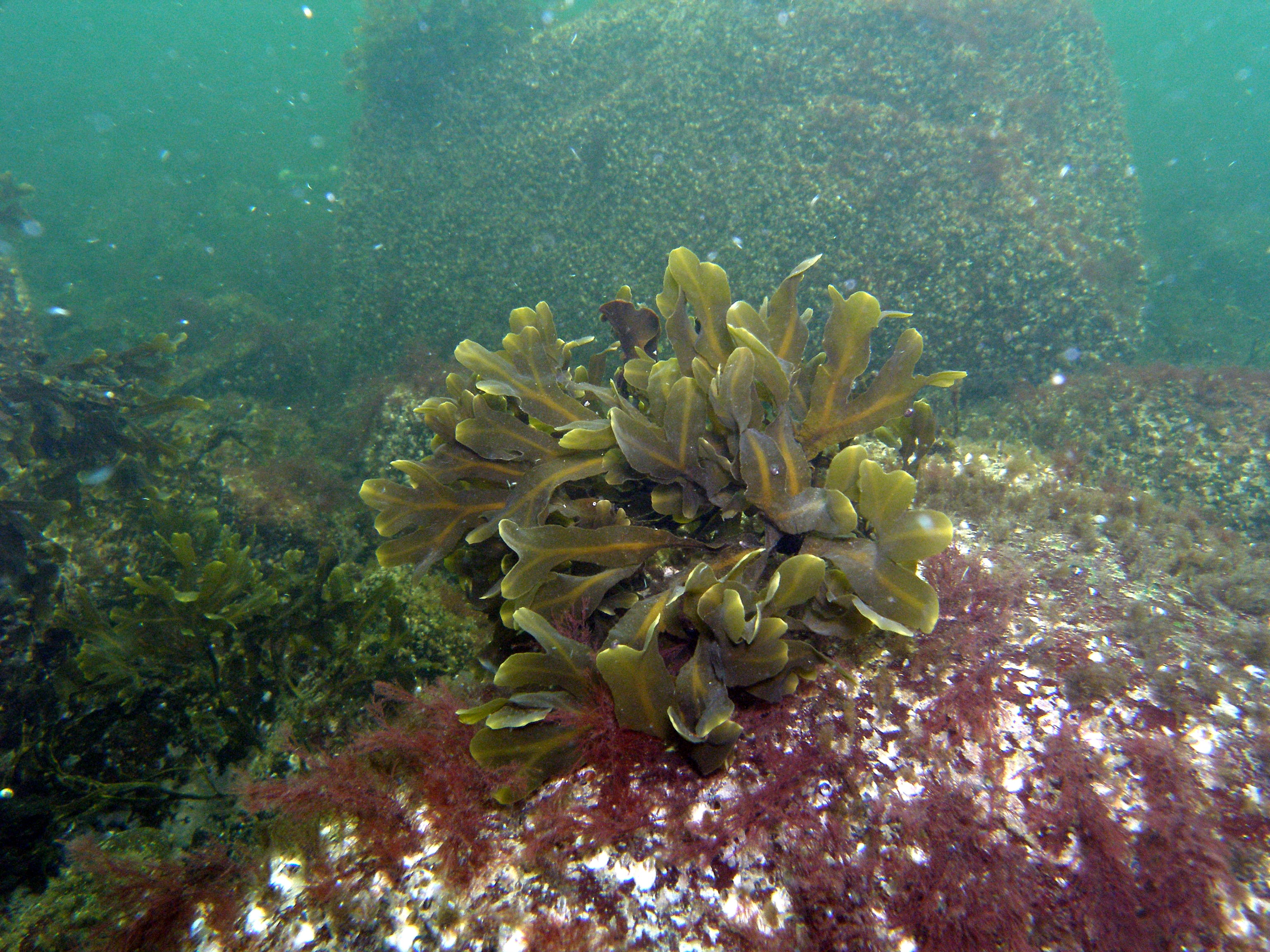
This Wok Package (WP) has two objectives: (1) Determine ecosystem elements that form a basis of identification of ecologically valuable areas and (2) Establish harmonized methods to map the ecological values and associated services. Objectives will be accomplished through holistic evaluation, data compilation and testing of innovative modelling techniques. All partners and associates take part in these activities as cooperation is needed for identification of key habitat types, ecosystem functions and associated services as well as harmonization mapping and modelling approaches. Synchronized data sets and common approaches provide essential input into other WPs and will be transferred to national and regional authorities to support well-founded decisions in resource management and promote transboundary co-ordination and impact assessment.

WP T2 – Mapping the biota and quantification of synergistic impacts of climate change and human uses on joint nature assets including fishery and energy sectors.
Partners: EMI, SPBRC & EME
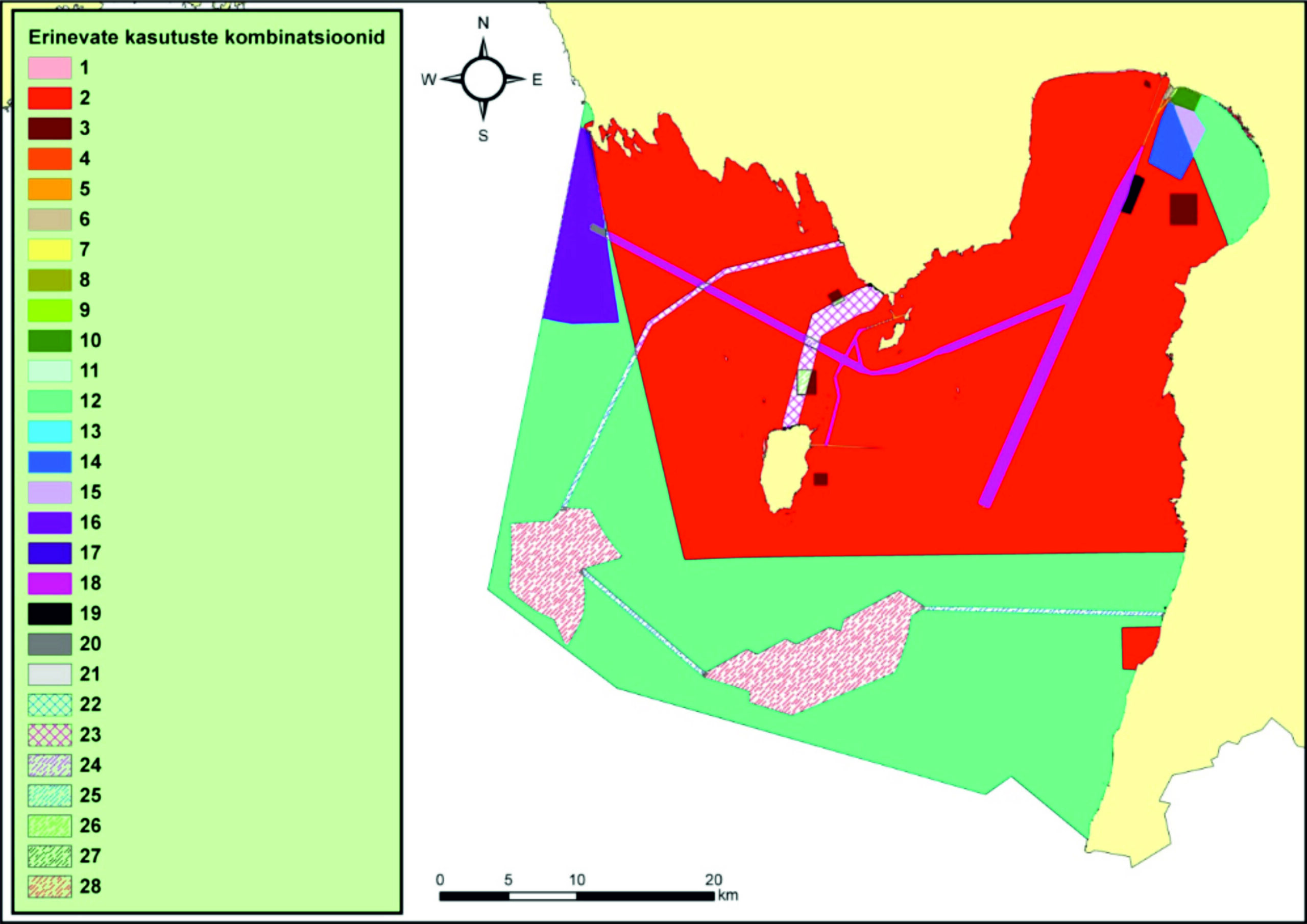
Harmonized modelling provides map layers of key environmental variables, pressures and human uses. Human impact is viewed in a transboundary perspective while considering developments in different parts of the Baltic Sea, their overall impact and synergy. Such scenario modelling demonstrates how adverse consequences of eutrophication and climate change can be mitigated by applying smarter spatial allocation of different human uses. Current activity provides innovation and fosters economic growth while appling ecosystem-based approach, promoting coexistence of different activities and supporting sustainable development of marine areas. Its unique focus on scenario-based spatial prediction of biodiversity and ecosystem services, coupled with legal and economic instruments for maritime spatial planning provides great potential for advancing cross-border management in the Gulf of Finland area.

WP T3 – Generating transboundary GIS environmental risk assessment and mitigation tool
EMI, SPBRC, EME
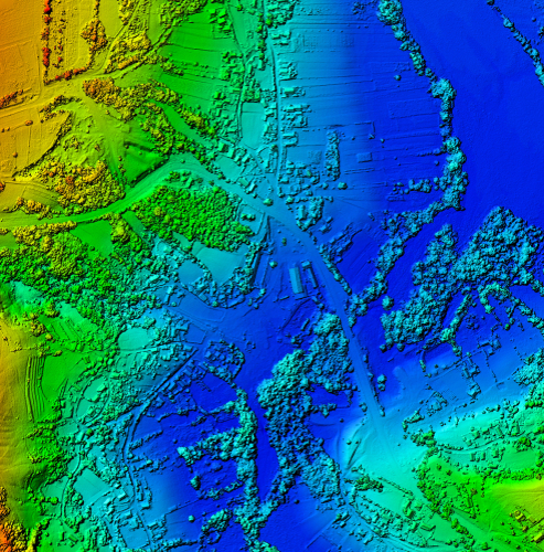
The aim of this WP is to produce a web-based GIS Assessment Portal for maritime spatial planners and resource managers. Capability of assessing interactive human-induced stressors on the Gulf of Finland ecosystem under different nutrient load management and climate change scenarios is a crucial component of the portal.
The portal is built on harmonized methodologies combining big data with high scientific quality and novel machine learning modelling framework. From the user perspective, it remains simple and highly self-intuitive. The overall concept of the GIS portal is already tailored for the needs of the most important stakeholders. The Assessment Portal will be developed in active consultation with ministries, local and regional authorities to yield better impacts in actual cross-border environmental protection, resource management and marine spatial planning.


