Geospatial (GIS) assessment portal
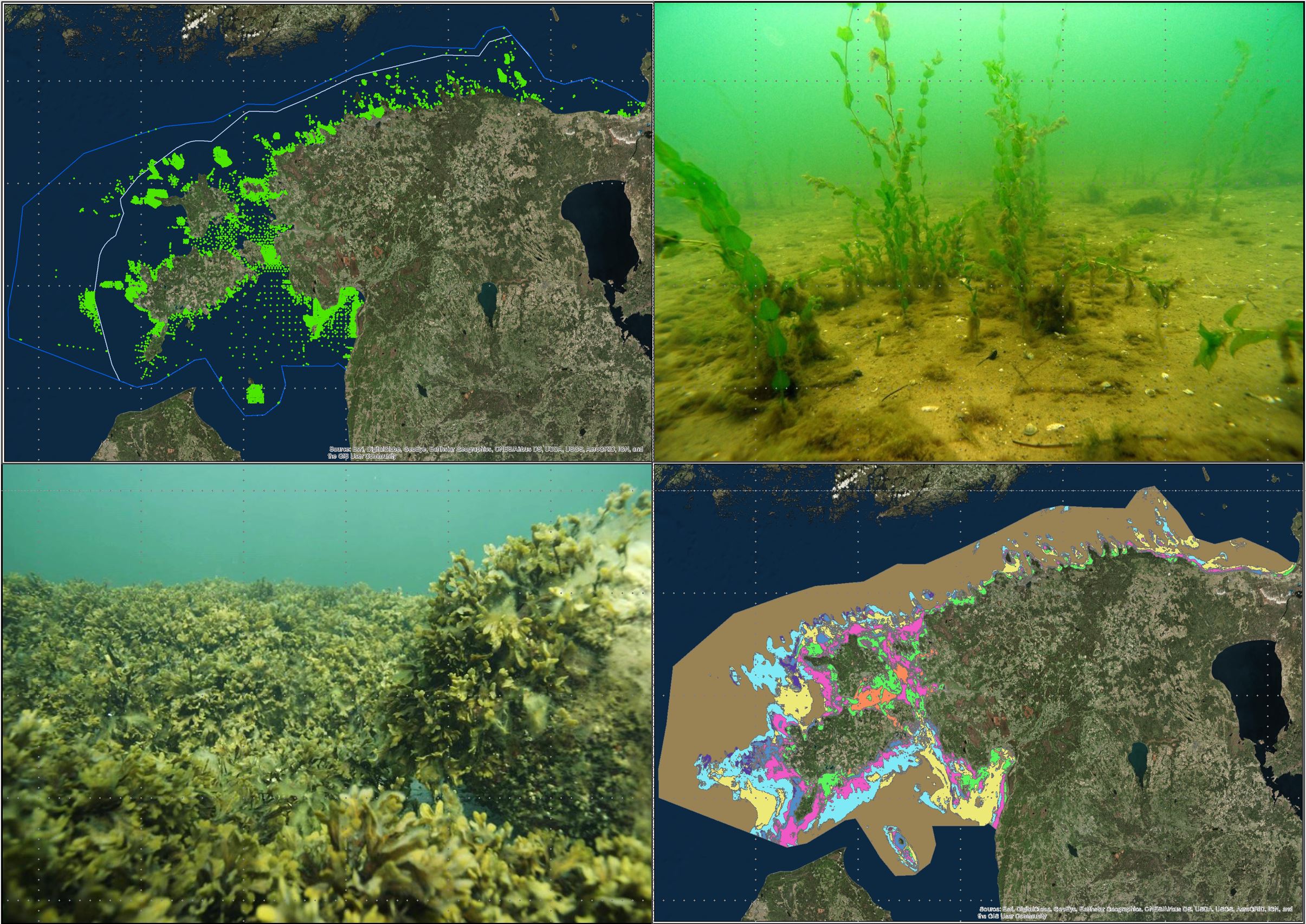
Geospatial (GIS) assessment portal – One overarching goal for ADRIENNE is to produce a publicly accessible web-based GIS Assessment Portal for maritime spatial planners, resource managers and other curious minds.
GIS assessment portal enables to quantify and value natural assets and model their spatial distribution. Created portal can assess interactive responses of various human-induced stressors on the Gulf of Finland ecosystem under different nutrient concentrations and climate change scenarios.
The overall concept of the GIS portal is already tailored for the needs of the most important stakeholders through active consultation with ministries as well as local and regional authorities. The Estonian Ministry of Finance, Environmental Committee of St. Petersburg Government and Leningrad Region Nature Protection Committee show keen interest to apply such GIS tools in their maritime planning to assess cross-border responses of sector-specific human-induced stressors on the Gulf of Finland ecosystem.
Through cooperation of various stakeholders, ADRIENNE project improves cross-border planning and management, identifies appropriate measures to cope with cumulative pressure of human uses, supports the sustainable use of marine resources and reflects environmental trade-offs between alternative management scenarios. As part of the assessment portal, we are able to examine the impact of management decisions from the perspective of long-term sustainability.
PlanWise4Blue is an application that combines models of marine economy and cumulative impact assessment. Such a model allows one to assess the economic benefits of various management scenarios along with their environmental impact across Estonian sea space. Outcomes of the model make it possible to work towards sustainable solutions to maximize the economic benefit gained from the use of marine resources with minimum damage to the environment.


